Tyne-Tees Coast Historical and Archaeological Review

For Tyne-Tees Shores and Seas Landscape Partnership (2019)

This unique project was commissioned by the Tyne-Tees Shores and Seas SeaScape Partnership, to inform their successful application to the National Lottery Heritage Fund under the Landscape Partnership Scheme (LPS). This is the first sea-based Landscape Partnership, and the study area includes the coastline and extends for 8km out to sea. The aims of the LPS are to re-establish connections between the local communities and the coast and sea. Although the area is well known for its coastal collieries, one of the objectives of the LPS is to raise awareness of other elements of the area’s fascinating history which are often overlooked.

The SeaScapes Area encapsulates people’s changing relationships with the sea over millennia. During this time the coast and sea have been a source of food and resources; a conduit for travel and trade; a place of skill in boatbuilding and seamanship; a place of danger, tragedy, and brave rescues; a stimulus for scientific and engineering innovation; the backdrop for recreation and pleasure; a scene of war and defence, and place of cultural inspiration.

This project required a large amount of data search (including Historic Environment Records, archives, books, historic maps and charts, galleries, museums, academic publications, marine surveys and fieldwork) then the presentation of key relevant information in an accessible and engaging way through a series of illustrated profiles. The profiles are broadly chronological. They begin with evidence from the end of the last Ice Age, when the North Sea was dry land, and continue through prehistoric, Roman and Saxon seaways, Medieval ports, shipbuilding, harbours, shipping routes, whaling boats, fishing, navigation, lifesaving, recreation and defence, right through to post-coal energy generation. Together, they describe the complex interrelationships which have evolved between coastal communities and the sea, and hopefully inspire today’s communities to find out more.

Setting Study for Woolsthorpe Manor, Home of Sir Isaac Newton

For the National Trust (2018)

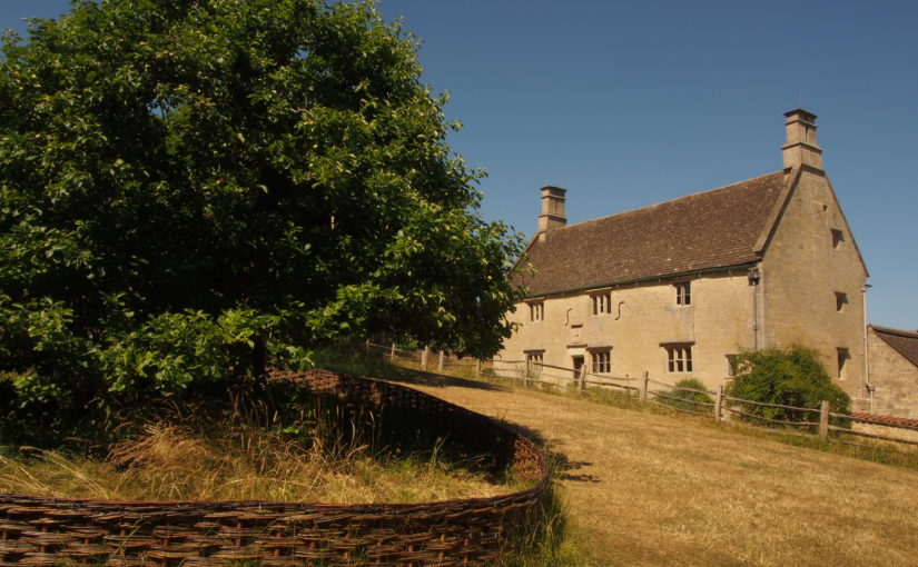
Woolsthorpe Manor in Lincolnshire is the former home of Sir Isaac Newton, and has been a place of scientific pilgrimage for centuries. It is a relatively humble farmhouse, and its small grounds include Newton’s famous apple tree. It is located on the edge of a large village, and is not set within designed grounds. Recent decades have seen incremental changes to the setting of the property, including suburban growth, mineral extraction, road schemes, and poorly-sited infrastructure such as street lights.

The project describes in detail the immediate, intermediate and wider settings of Woolsthorpe Manor. It also analysed views to and from Woolsthorpe Manor, and the approaches to it used by local people and visitors, including historic routes which would have been used by Sir Isaac Newton. The report presents a wide range of recommendations for the protection and enhancement of the setting of Woolsthorpe Manor. It also identifies a series of monitoring points which can be used to record future changes (both positive and negative) in the setting of the property.

Landscape Story and Description of the Chilterns

For the Chilterns AONB (2018)

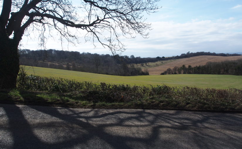
This short project involved amalgamating numerous detailed landscape character descriptions presented in a variety of formats into a single, simplified description which could be used in public-facing documents. It describes the four key landscape types found within the Chilterns AONB, and also tells the story of the development of the distinctive Chilterns landscape – from the destructive power of glacial meltwater through to the planting of beechwoods by 18th Century furniture makers.

Bath Views and Vistas Project

For Bathscape Landscape Partnership (2017)

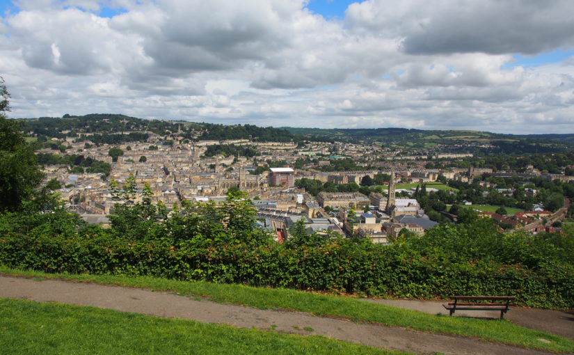
The city of Bath is designated a UNESCO World Heritage Site, in part because of its green setting in a hollow of the hills. The landscape setting of Bath is very important, but is nevertheless threatened by a range of factors including vegetation growth, skyline developments and changes in the balance of woodland and open land.

The Bath Views and Vistas Project is one of a suite of projects which will inform the Second Round LHF Submission for the Bathscape Landscape Partnership. It identifies and analyses a representative selection of views and vistas within Bath and its setting, and makes recommendations for the protection, management and planning of each one so that they can be retained and enhanced in the future. The project also contains a toolkit to enable local volunteers to repeat the process for other viewpoints at a later stage of the Bathscape project.

Historic Environment Characterisation for Secrets of the Sands: The Greensand Country Landscape Partnership

With Albion Archaeology and Alison Farmer Associates (2016)

Working as sub-consultants to Alison Farmer Associates, Albion Archaeology and Fiona Fyfe Associates produced a Historic Environment Characterisation for this Landscape Partnership, which focusses on the Greensand Ridge running from Cambridgeshire, through Bedfordshire and into Buckinghamshire. The Historic Environment Assessment uses a range of archaeological, built form and historic environment information, plus field work, to identify a series of distinct Historic Environment Character Zones. For each Zone, summary information is provided on its archaeology, landscape history, extant features, built environment and field patterns. A condition assessment is also provided. The report will be used by the Landscape Partnership in a variety of ways, including the identification of projects to take forward into the Landscape Conservation Action Plan.

Dartmoor Historic Environment Character Assessment

With University of Leicester Archaeological Services and Countryscape (2014)

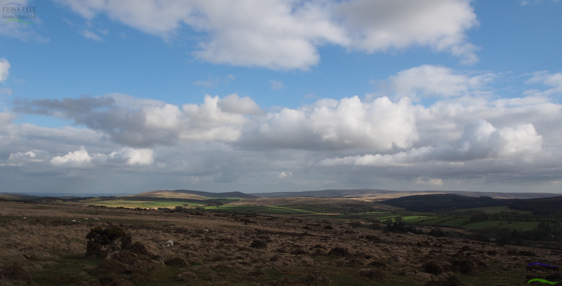
Dartmoor has a rich and multi-layered historic landscape, with extant archaeological features dating from prehistoric to modern periods. This project (commissioned by Dartmoor National Park Authority) developed an innovative methodology to map and describe the various Historic Environment Character Types within the National Park. The draft version of the report contributed to a successful Second-Round Heritage Lottery Fund bid by the Moor Than Meets the Eye Landscape Partnership.

Design of Interpretation Panel for Fair Green, Diss, Norfolk

(2014)

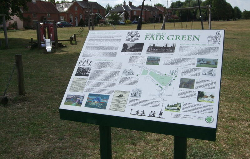
Fiona Fyfe Associates was commissioned by the Fair Green Neighbourhood Association to research and design an interpretation panel to be read by residents and visitors. The panel describes the history of Fair Green, and includes a map showing key buildings and sites of interest. Fiona worked with local artists and historians to produce the panel, which includes text, artwork, cartography and photographs. She created the design using Adobe Create Suite software.

Research and Interpretation Plan for Garden Archaeology, Calke Abbey

(2012)

Fiona has a particular interest in designed landscapes such as Country Estates. She has undertaken research into the development of Estate landscapes, including how they adopted and adapted the technologies developed as part of the Industrial Revolution. Her original research into the utilization of industrial technology in the gardens of Country Estates has been published in a book entitled ”Country House Technology“ (Ed. P.S. Barnwell and M. Palmer, 2012).

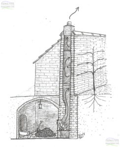
Interpretative sketch by Fiona Fyfe showing an Eighteenth Century “hot wall” and underground stokehole.

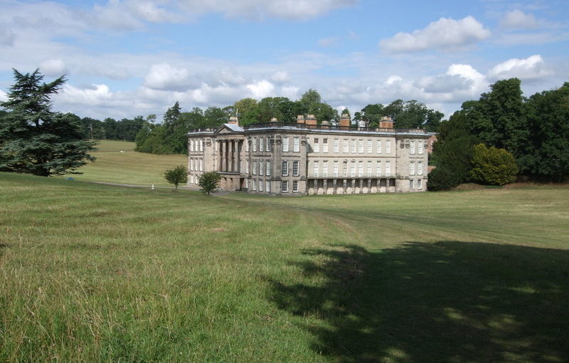
The garden buildings at Calke Abbey contain an exceptional range of heating systems, dating from the 1770s to the 1930s, including a rare `cockle stove’, which was originally developed by William Strutt for use in his Derwent Valley cotton mills. Fiona’s work has won two academic prizes and she has also written an interpretation plan for the National Trust, with recommendations for interpreting these historic heating systems, enabling the public to understand and engage with them.

Management Plan for Hillsborough Prehistoric Fort, Ilfracombe

With University of Leicester Archaeological Service (2011)

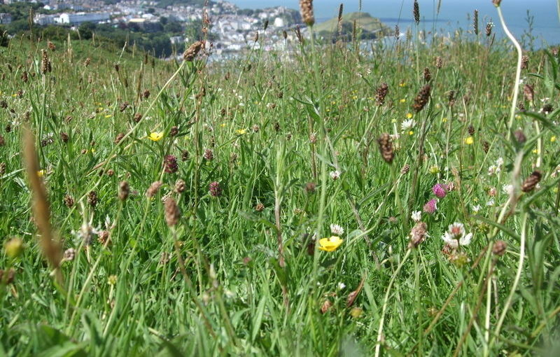
This project was undertaken for the North Devon Coast AONB and North Devon Council. Hillsborough is an elevated headland to the east of Ilfracombe in North Devon. The site is of considerable importance for its archaeology and wildlife, and its recreation and landscape values. It is covered by numerous designations, and is a Scheduled Monument. The five-year Management Plan brings together the various requirements of the site and provides a focus for community involvement.

It also made recommendations regarding the future interpretation of the site, including projects which could form future grant funding applications.

Archaeological Management Plan for Black Down and Burrington Combe, Mendip Hills AONB

With University of Leicester Archaeological Services (2010)

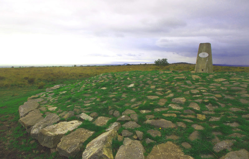
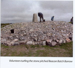
Volunteers turfing the newly stone-pitched Beacon Batch Barrow.

The project area included an extensive Scheduled Monument containing archaeological features dating from the Bronze Age to the Second World War. The majority of the area is also designated SSSI and is managed under Higher Level Stewardship (HLS). High levels of recreation and changing land cover (particularly increased bracken) were causing extensive damage to archaeological features, so it was necessary to find an acceptable balance between archaeological, recreation and conservation interests.

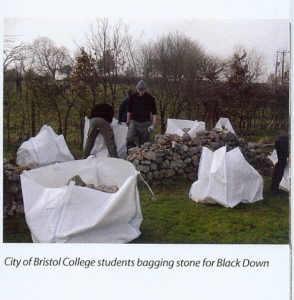
City of Bristol College students bagging stone for pitching on Black Down.

A condition assessment of the archaeology was undertaken by ULAS and a number of management recommendations were made. Some of these recommendations (such as stone-pitching the eroded ground around a trig point, thereby protecting the underlying Bronze-Age barrow from further damage) have already been carried out as special projects under HLS with involvement from local community volunteers. Bracken clearance of the most sensitive features is also being carried out under HLS. Other recommendations, such as the provision of interpretation panels and the re-routing of footpaths have been incorporated into a successful Heritage Lottery Fund bid.