North York Moors Settlement Sensitivity Studies

For North York Moors National Park Authority, 2021

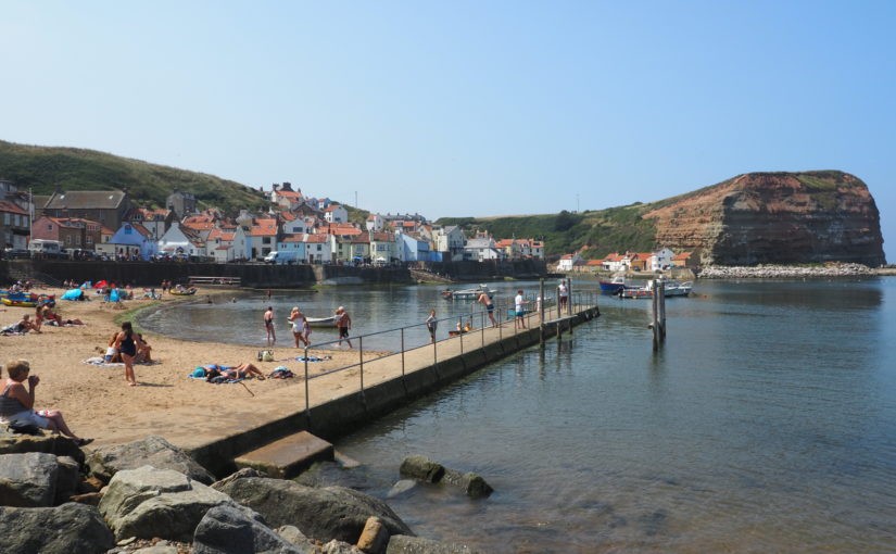
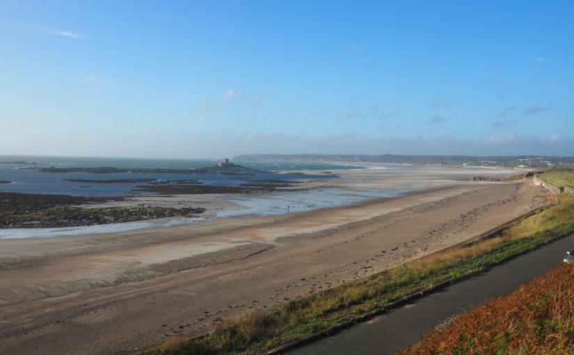
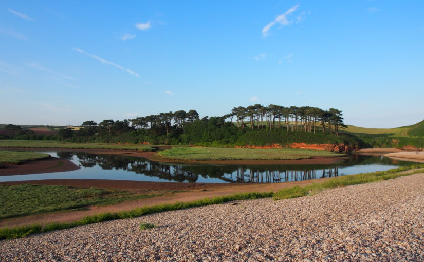
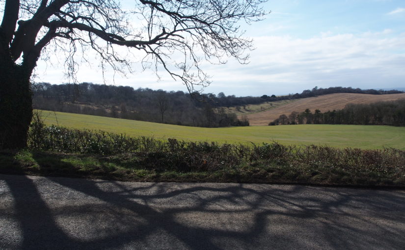
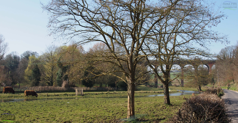
This project was undertaken in conjunction with the North York Moors Landscape Character Assessment Update. Its purpose was to identify the key sensitivities associated with each of the 16 ‘Larger Villages’ within the National Park, plus the town of Helmsley. It is in these places where small-scale development (such as affordable housing schemes) is most likely to be located.

A settlement’s character and ‘sense of place’ can be eroded by development which does not respect its form, landscape setting, distinctive features or views. Therefore by identifying and protecting the sensitive features of each settlement, future development can be incorporated in a way which does not damage the settlement’s unique character or sense of place, and will also be sensitive to the landscape in which the settlement is situated.

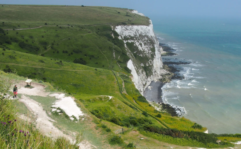
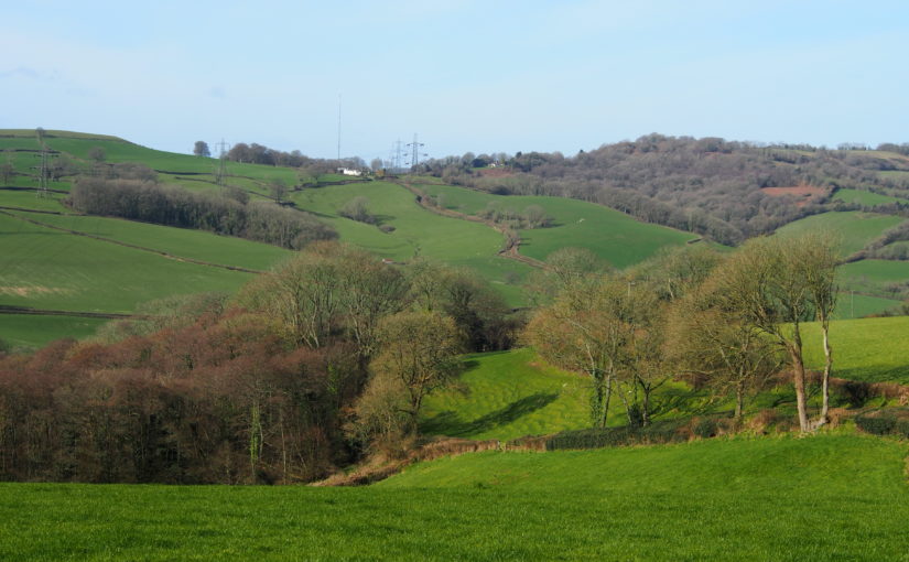
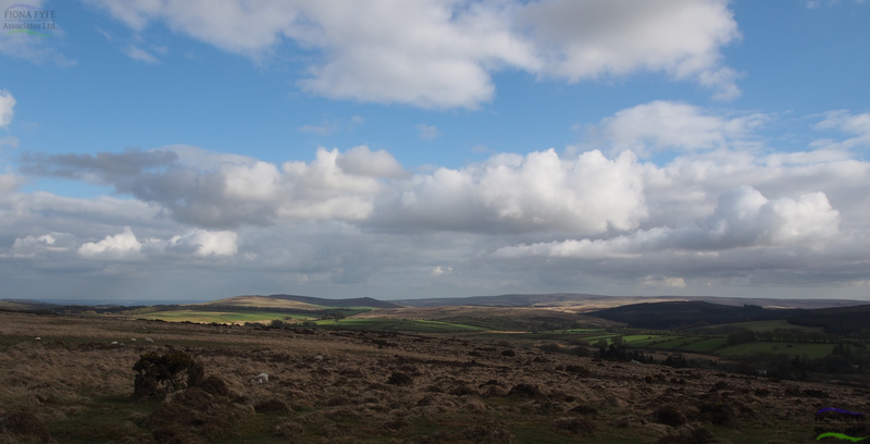
The settlements studied include towns and villages with coastal, farmland, moorland, historic parkland and woodland settings. Desk studies and fieldwork were undertaken to understand settlements’ landscape context, form, character, approaches and gateways, edges, and visual relationship with their surrounding landscape.

Jersey Coastal National Park Boundary Review

Fiona Fyfe Associates with Karin Taylor and Countryscape for Government of Jersey (2020)

This innovative project helps the Government of Jersey achieve its ambition for a unique National Park which extends both inland and out to sea, encompassing terrestrial, intertidal and marine areas.

A project-specific methodology was developed based on the existing Natural England methodology for designating Protected Landscapes, but tailored for application in Jersey’s unique island environment. The criteria for inclusion within the Jersey Coastal National Park work equally well for land and marine areas.

In addition to extending the National Park offshore, the recommended Coastal National Park boundary also aims to ensure that the coastline and its inland and seaward setting are appropriately protected, and provides a clear, consistent and unambiguous boundary for the National Park. It also reflects the updated landscape and seascape typology provided in the Jersey Integrated Landscape and Seascape Character Assessment (Fiona Fyfe Associates 2020).

Kent Downs AONB Landscape Design Handbook Update

Fiona Fyfe Associates with Untitled Practice for Kent Downs AONB (2019)

This handbook provides practical advice and inspiration to promote landscape-sensitive design within the Kent Downs Area of Outstanding Natural Beauty (AONB). Given the designation of the area as AONB, it is vital that the characteristics of the Kent Downs landscape are understood, protected and enhanced in order that the evolving landscape retains its special character. The Landscape Design Handbook aims to ensure that any new development, land use or land management approach respects and enhances the Kent Downs’ unique sense of place. It sets out design principles and detailed design recommendations to promote good practice in landscape design across the AONB, to enhance the distinctive features of the landscape and to promote local variation in landscape character.

The updating of the Landscape Design Handbook is very timely given the unprecedented pressure for development both within the AONB and within its setting. Some of the pressure is from large-scale development, but small-scale development and change can also be damaging to local character unless it is undertaken sensitively. The Handbook addresses one-off and cumulative landscape changes, and is relevant to both development planning and landscape management projects.

East Devon and AONBs Landscape Character Assessment and Management Guidelines

(ongoing)

This document provides a Landscape Character Assessment and Landscape Management Guidelines for East Devon District, East Devon AONB and the Blackdown Hills AONB. Parts of East Devon (specifically those areas which are not designated AONB) are currently facing unprecedented development pressure, and the vision and guidelines within this document will help to integrate that development into the landscape in the most positive way possible. These guidelines cover landscape management, the siting and design of development, and also identify potential opportunities for mitigation and landscape enhancement within the surrounding area.

The study area includes two AONBs, and the interfaces between the protected landscapes and the surrounding cities, towns and countryside.

Landscape Story and Description of the Chilterns

For the Chilterns AONB (2018)

This short project involved amalgamating numerous detailed landscape character descriptions presented in a variety of formats into a single, simplified description which could be used in public-facing documents. It describes the four key landscape types found within the Chilterns AONB, and also tells the story of the development of the distinctive Chilterns landscape – from the destructive power of glacial meltwater through to the planting of beechwoods by 18th Century furniture makers.

Kent Downs AONB Landscape Character Assessment Update

For Kent Downs AONB (Ongoing)

The previous Kent Downs Landscape Character Assessment was undertaken in 1995. Therefore an update was commissioned to inform the forthcoming revision of the AONB Management Plan. The updated Landscape Character Assessment takes into account current Landscape Character Assessment methodology, and has been subject to extensive stakeholder input and consultation.

The project has offered the opportunity to re-visit the photo locations from the 1995 Assessment, and to record the changes which have taken place in the landscape in the intervening 22 years. These include the re-growth of scarp-top woodland following the 1987 hurricane; the maturing of planting schemes associated with the Channel Tunnel Rail Link (HS1); the effects of Ash Dieback disease, and the planting of grapevines. The project also looks ahead and provides recommendations on landscape strategies for the future.

Blackdown Hills Landscape Enhancement Initiative

For Blackdown Hills AONB (2017)

This project was commissioned through the National Grid Landscape Enhancement Initiative (LEI) scheme, open to protected landscapes which are affected by high voltage power lines. It identified a number of landscape enhancement opportunities within the Blackdown Hills AONB which fulfil the LEI criteria, including strengthening historic landscape patterns of hedgerows; enhancing the settings of settlements and listed buildings; opportunities for habitat creation and enhancement, and improvements to public access.

Dartmoor Historic Environment Character Assessment

With University of Leicester Archaeological Services and Countryscape (2014)

Dartmoor has a rich and multi-layered historic landscape, with extant archaeological features dating from prehistoric to modern periods. This project (commissioned by Dartmoor National Park Authority) developed an innovative methodology to map and describe the various Historic Environment Character Types within the National Park. The draft version of the report contributed to a successful Second-Round Heritage Lottery Fund bid by the Moor Than Meets the Eye Landscape Partnership.

Strategic Landscape Enhancement Plan for the Darent Valley, Kent

With Sological Solutions and Robin Lines Landscape (2014)

The Darent Valley Landscape Partnership Scheme (LPS) area follows the river Darent from its source springs in the Weald to its confluence with the river Thames near Dartford. This project required the production of a single Landscape Character Assessment for the LPS area, and the identification of a series of Landscape Character Areas which reflect the changing stages of the river and its surroundings. The Plan contains a vision for each Landscape Character Area, and a series of practical project proposals and opportunities to make that vision a reality. The Plan was part of a successful First Round bid for Heritage Lottery Funding under the Landscape Partnership Scheme.

Anglesey and Snowdonia Seascape Character Assessment

With Countryscape and SEACAMS/ Bangor University (2013)

This project was undertaken for Anglesey Coast AONB, Snowdonia National Park and Natural Resources Wales. The study area included the coast of Anglesey, and the coast of mainland Wales from the Great Orme to the Dyfi Estuary (excluding the Lleyn Peninsula). The project was an extension of the conventional landscape character assessment process. It involved the identification and mapping of marine, intertidal and terrestrial Seascape Character Types (SCTs), and the grouping of these into geographically-distinct Seascape Character Areas (SCAs). Maps and profiles were prepared for all the SCTs and SCAs. SCT profiles describe each SCT and where it occurs. SCA profiles provide an in-depth study of each SCA, including its key characteristics, natural influences and sites, cultural influences and sites, perceptual qualities, and the cultural ecosystem services which it provides. The forces for change associated with each SCA are described, along with inherent sensitivity.

Because the majority of SCAs include a combination of marine, intertidal and terrestrial SCTs, the project provides a comprehensive overview of the physical and cultural relationships between land and sea, and how these have developed over time. The report is being use d in a variety of ways, including contributions to planning decisions (for onshore and offshore development proposals), the management of coastal conservation and cultural sites, and shoreline management.