Tyne-Tees Coast Historical and Archaeological Review

For Tyne-Tees Shores and Seas Landscape Partnership (2019)

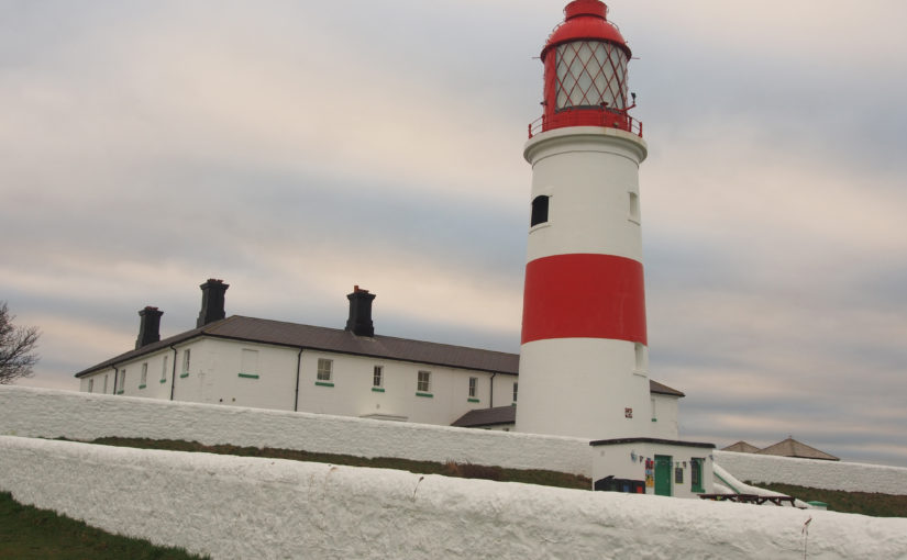
This unique project was commissioned by the Tyne-Tees Shores and Seas SeaScape Partnership, to inform their successful application to the National Lottery Heritage Fund under the Landscape Partnership Scheme (LPS). This is the first sea-based Landscape Partnership, and the study area includes the coastline and extends for 8km out to sea. The aims of the LPS are to re-establish connections between the local communities and the coast and sea. Although the area is well known for its coastal collieries, one of the objectives of the LPS is to raise awareness of other elements of the area’s fascinating history which are often overlooked.

The SeaScapes Area encapsulates people’s changing relationships with the sea over millennia. During this time the coast and sea have been a source of food and resources; a conduit for travel and trade; a place of skill in boatbuilding and seamanship; a place of danger, tragedy, and brave rescues; a stimulus for scientific and engineering innovation; the backdrop for recreation and pleasure; a scene of war and defence, and place of cultural inspiration.

This project required a large amount of data search (including Historic Environment Records, archives, books, historic maps and charts, galleries, museums, academic publications, marine surveys and fieldwork) then the presentation of key relevant information in an accessible and engaging way through a series of illustrated profiles. The profiles are broadly chronological. They begin with evidence from the end of the last Ice Age, when the North Sea was dry land, and continue through prehistoric, Roman and Saxon seaways, Medieval ports, shipbuilding, harbours, shipping routes, whaling boats, fishing, navigation, lifesaving, recreation and defence, right through to post-coal energy generation. Together, they describe the complex interrelationships which have evolved between coastal communities and the sea, and hopefully inspire today’s communities to find out more.

Binevenagh and Coastal Lowlands Landscape Character Assessment

For Binevenagh and Coastal Lowlands Landscape Partnership (2018)

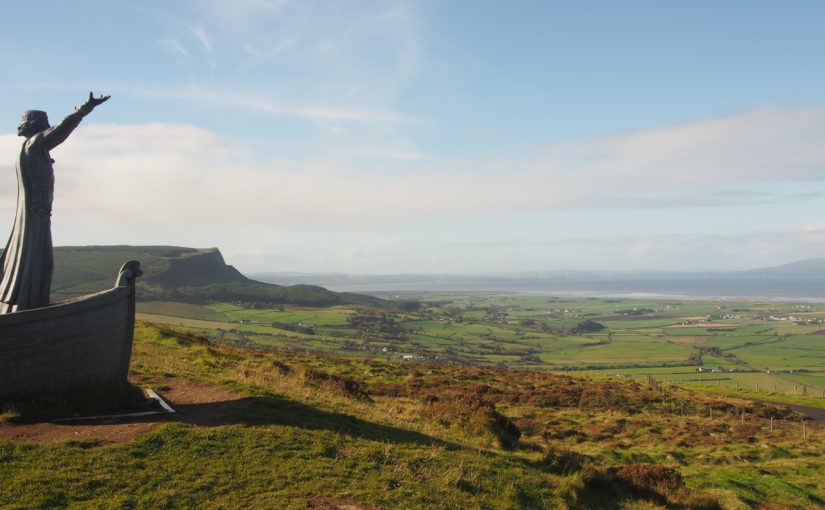
This project in Northern Ireland provides the landscape context for the HLF Landscape Partnership Scheme, identifying and defining six distinctive Landscape Character Areas, and describing them in detail using text, maps and photographs. The project area is largely within the Binevenagh AONB, and includes the eastern shore of Lough Foyle, the Binevenagh uplands, the historic estate of Downhill, the Binevenagh cliffs and parts of the River Bann valley. During the project Fiona undertook extensive fieldwork in the area, including site visits with the National Trust Ranger, and also stakeholder and community consultation sessions to inform the project outputs.

Fiona prepared a series of profiles (one for each Landscape Character Area) which present a description of the landscape, its key characteristics, natural, cultural and perceptual qualities, threats and forces for change, and project opportunities.

Wandle Vistas Project

For Living Wandle Landscape Partnership with Untitled Practice (2018)

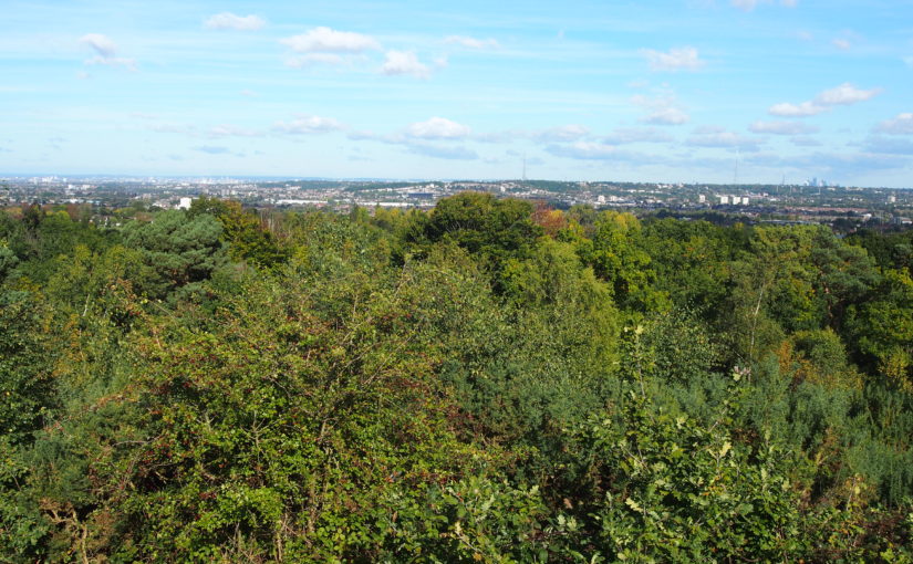
This is a legacy project for the Living Wandle Landscape Partnership in south-west London. The project has an urban context, as the River Wandle rises near Croydon and meets the Thames at Wandsworth. This project used extensive community consultation to define what makes a ‘Wandle Vista’ and to identify ten key viewpoints which together tell the landscape story of the Wandle Valley. The project is closely aligned with the London Plan, London View Management Framework and All London Green Grid.

Working with volunteers is a key part of the project, and Fiona delivered training on landscape assessment techniques, historic map analysis and digital archive resources. Project outputs include a planning document for London Boroughs to take forward into their own Local and Neighbourhood Plans, and interpretation materials to inspire local people to understand and engage with the Wandle Valley landscape. Also included are a range of measures to enhance and raise awareness of the viewpoints which will contribute to the Living Wandle Legacy.

Bath Views and Vistas Project

For Bathscape Landscape Partnership (2017)

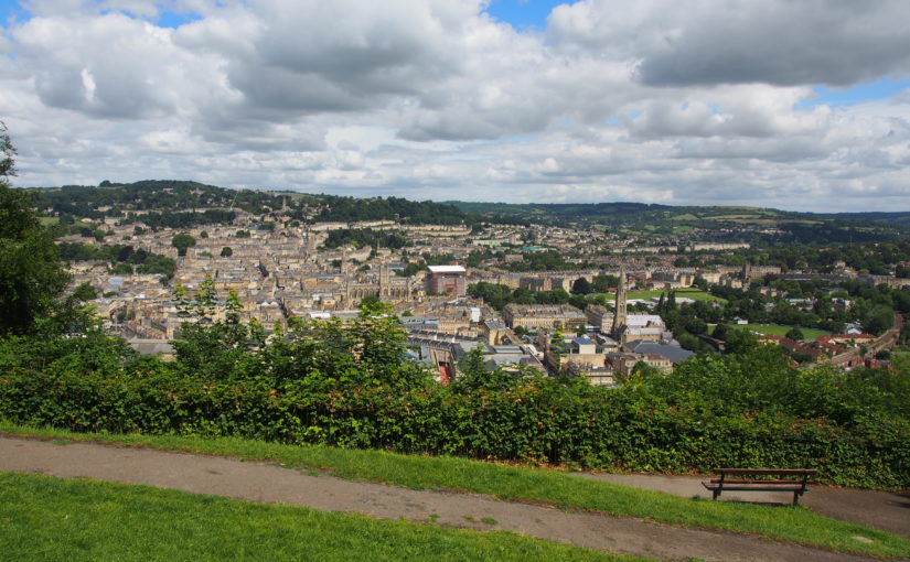
The city of Bath is designated a UNESCO World Heritage Site, in part because of its green setting in a hollow of the hills. The landscape setting of Bath is very important, but is nevertheless threatened by a range of factors including vegetation growth, skyline developments and changes in the balance of woodland and open land.

The Bath Views and Vistas Project is one of a suite of projects which will inform the Second Round LHF Submission for the Bathscape Landscape Partnership. It identifies and analyses a representative selection of views and vistas within Bath and its setting, and makes recommendations for the protection, management and planning of each one so that they can be retained and enhanced in the future. The project also contains a toolkit to enable local volunteers to repeat the process for other viewpoints at a later stage of the Bathscape project.

Ynys Cybi Landscape Partnership Landscape and Seascape Character Assessment

With Countryscape (2016)

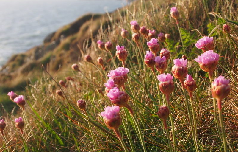
The Tir & Môr Ynys Cybi Land& Sea Landscape Partnership is unusual in that its boundary contains terrestrial, inter-tidal and marine areas. The Landscape Character Assessment which supported the successful HLF Funding submission therefore needed to provide information on all these landscape and seascape types. Fiona achieved this by adapting and simplifying the relevant sections of the Anglesey and Snowdonia Seascape Character Assessment which she had completed a few years previously, to produce a document which provides a suitable basis for community use and Landscape Partnership decision-making. The document identifies nine distinctive landscape and seascape types within the study area, and describes their key characteristics, natural influences, cultural influences and perceptual qualities. Issues and forces for change affecting the landscapes are described, along with project opportunities under the themes of the Landscape Partnership. Community consultation was undertaken with local residents and stakeholders on how people describe the Ynys Cybi landscape, how it makes them feel, and their concerns about issues affecting the landscape.

Romney Marsh Landscape Character Assessment

(2016)

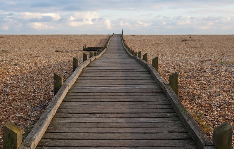
This Landscape Character Assessment was commissioned jointly by Kent Wildlife Trust (on behalf of the Fifth Continent Landscape Partnership) and Shepway District Council. It is intended to inform both the Fifth Continent Landscape Conservation Action Plan and Shepway District Council’s forthcoming Places and Policies Local Plan. Romney Marsh is a unique landscape with a very strong sense of place. The character of the landscape today varies subtly across Romney Marsh, reflecting several centuries of land reclamation and coastal processes. These variations (and the history behind them) are identified and described in the Landscape Character Assessment. The study area also includes the distinctive shingle landscape of Dungeness, which is internationally-designated for its shingle habitats and the species they support, as well as being a popular destination for visitors.

Following-on from the Romney Marsh Landscape Assessment, a separate study was undertaken as a pilot for a new approach to landscape character assessment which is being discussed within Kent. In this approach, the focus is on the features of the landscape that need to be conserved in order to retain the character of the landscape. The intention is that by showing how character is defined by patterns of features, the process will help to make informed decisions about the impacts of change and development on landscape character. The four landscape elements chosen for the pilot study were watercourses, rural lanes, shingle and parish churches.

Historic Environment Characterisation for Secrets of the Sands: The Greensand Country Landscape Partnership

With Albion Archaeology and Alison Farmer Associates (2016)

Working as sub-consultants to Alison Farmer Associates, Albion Archaeology and Fiona Fyfe Associates produced a Historic Environment Characterisation for this Landscape Partnership, which focusses on the Greensand Ridge running from Cambridgeshire, through Bedfordshire and into Buckinghamshire. The Historic Environment Assessment uses a range of archaeological, built form and historic environment information, plus field work, to identify a series of distinct Historic Environment Character Zones. For each Zone, summary information is provided on its archaeology, landscape history, extant features, built environment and field patterns. A condition assessment is also provided. The report will be used by the Landscape Partnership in a variety of ways, including the identification of projects to take forward into the Landscape Conservation Action Plan.

Landscape Character Assessment for the Isle of Axholme and Hatfield Chase Landscape Partnership

With Countryscape and Steven Warnock (2014)

Published Report

This document will be submitted as part of the client’s Second Round submission to the Heritage Lottery Fund. The study area contains several rare and valuable ecological and cultural landscapes, including England’s largest areas of lowland raised mire, some of the most extensive surviving medieval strip field systems in the country, and the first landscapes in Britain to be drained by Dutch engineer Cornelius Vermuyden in the 1620s. However, the richness of the area’s landscapes is not well-known or appreciated locally or more widely. This Landscape Character Assessment tells the story of the area’s landscapes from geological times to the present day, and identifies and describes the distinct Landscape Character Areas within the study area. It also makes recommendations for landscape-based projects which could be taken forward by the Landscape Partnership to enhance the area’s distinctive landscapes, to encourage local people to engage with the landscapes on their doorstep, and to increase wider awareness of the area.
Dartmoor Historic Environment Character Assessment

With University of Leicester Archaeological Services and Countryscape (2014)

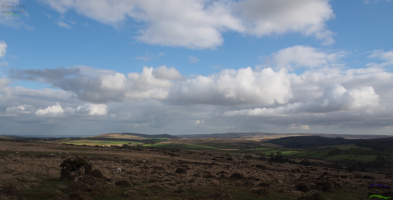
Dartmoor has a rich and multi-layered historic landscape, with extant archaeological features dating from prehistoric to modern periods. This project (commissioned by Dartmoor National Park Authority) developed an innovative methodology to map and describe the various Historic Environment Character Types within the National Park. The draft version of the report contributed to a successful Second-Round Heritage Lottery Fund bid by the Moor Than Meets the Eye Landscape Partnership.

Strategic Landscape Enhancement Plan for the Darent Valley, Kent

With Sological Solutions and Robin Lines Landscape (2014)

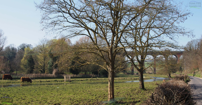
The Darent Valley Landscape Partnership Scheme (LPS) area follows the river Darent from its source springs in the Weald to its confluence with the river Thames near Dartford. This project required the production of a single Landscape Character Assessment for the LPS area, and the identification of a series of Landscape Character Areas which reflect the changing stages of the river and its surroundings. The Plan contains a vision for each Landscape Character Area, and a series of practical project proposals and opportunities to make that vision a reality. The Plan was part of a successful First Round bid for Heritage Lottery Funding under the Landscape Partnership Scheme.