Kent Downs AONB Landscape Design Handbook Update

Fiona Fyfe Associates with Untitled Practice for Kent Downs AONB (2019)

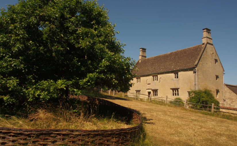
This handbook provides practical advice and inspiration to promote landscape-sensitive design within the Kent Downs Area of Outstanding Natural Beauty (AONB). Given the designation of the area as AONB, it is vital that the characteristics of the Kent Downs landscape are understood, protected and enhanced in order that the evolving landscape retains its special character. The Landscape Design Handbook aims to ensure that any new development, land use or land management approach respects and enhances the Kent Downs’ unique sense of place. It sets out design principles and detailed design recommendations to promote good practice in landscape design across the AONB, to enhance the distinctive features of the landscape and to promote local variation in landscape character.

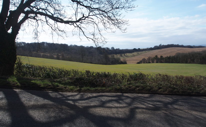
The updating of the Landscape Design Handbook is very timely given the unprecedented pressure for development both within the AONB and within its setting. Some of the pressure is from large-scale development, but small-scale development and change can also be damaging to local character unless it is undertaken sensitively. The Handbook addresses one-off and cumulative landscape changes, and is relevant to both development planning and landscape management projects.

Jersey Integrated Landscape and Seascape Character Assessment (ILSCA)

For Government of Jersey (2020)

Using Landscape and Seascape Character Assessment techniques to enable a holistic approach to sustainability across all terrestrial, intertidal and marine areas of the Bailiwick of Jersey.

As a small island nation, Jersey faces tremendous challenges in the face of global forces of climate change, biodiversity loss and development pressure. The ILSCA was commissioned as part of the evidence base for the New Island Plan, which aims to address these challenges through the promotion of sustainable development. The Bailiwick (jurisdiction) of Jersey includes an extra-ordinary diversity of marine and intertidal areas, as well as rich and distinctive landscape types within Jersey itself. All parts of the Bailiwick are being affected by global changes and pressures, and so the ILSCA holistically considers all environments – terrestrial, intertidal and marine. It provides a robust and consistent analysis across the entire study area, makes strong and practical recommendations for landscape/ seascape protection, enhancement and management, and celebrates Jersey’s unique landscapes and seascapes through photography, user-friendly language, and high-quality presentation.

In addition to the standard introduction, landscape / seascape ‘story’, and Character Type profiles, the ILSCA also contains two additional sections. The first is a new concept of ‘Coastal Units’. These are an additional layer of assessment, focussing on the most complex area (the coast) where many different Character Types and Character Areas meet and/or are inter-visible. The second is Landscape Design Guidance for rural and coastal areas, which provides guidance on accommodating new development, enhancing rural character, and consideration of views and visibility.

Tyne-Tees Coast Historical and Archaeological Review

For Tyne-Tees Shores and Seas Landscape Partnership (2019)

This unique project was commissioned by the Tyne-Tees Shores and Seas SeaScape Partnership, to inform their successful application to the National Lottery Heritage Fund under the Landscape Partnership Scheme (LPS). This is the first sea-based Landscape Partnership, and the study area includes the coastline and extends for 8km out to sea. The aims of the LPS are to re-establish connections between the local communities and the coast and sea. Although the area is well known for its coastal collieries, one of the objectives of the LPS is to raise awareness of other elements of the area’s fascinating history which are often overlooked.

The SeaScapes Area encapsulates people’s changing relationships with the sea over millennia. During this time the coast and sea have been a source of food and resources; a conduit for travel and trade; a place of skill in boatbuilding and seamanship; a place of danger, tragedy, and brave rescues; a stimulus for scientific and engineering innovation; the backdrop for recreation and pleasure; a scene of war and defence, and place of cultural inspiration.

This project required a large amount of data search (including Historic Environment Records, archives, books, historic maps and charts, galleries, museums, academic publications, marine surveys and fieldwork) then the presentation of key relevant information in an accessible and engaging way through a series of illustrated profiles. The profiles are broadly chronological. They begin with evidence from the end of the last Ice Age, when the North Sea was dry land, and continue through prehistoric, Roman and Saxon seaways, Medieval ports, shipbuilding, harbours, shipping routes, whaling boats, fishing, navigation, lifesaving, recreation and defence, right through to post-coal energy generation. Together, they describe the complex interrelationships which have evolved between coastal communities and the sea, and hopefully inspire today’s communities to find out more.

East Devon and AONBs Landscape Character Assessment and Management Guidelines

(ongoing)

This document provides a Landscape Character Assessment and Landscape Management Guidelines for East Devon District, East Devon AONB and the Blackdown Hills AONB. Parts of East Devon (specifically those areas which are not designated AONB) are currently facing unprecedented development pressure, and the vision and guidelines within this document will help to integrate that development into the landscape in the most positive way possible. These guidelines cover landscape management, the siting and design of development, and also identify potential opportunities for mitigation and landscape enhancement within the surrounding area.

The study area includes two AONBs, and the interfaces between the protected landscapes and the surrounding cities, towns and countryside.

Binevenagh and Coastal Lowlands Landscape Character Assessment

For Binevenagh and Coastal Lowlands Landscape Partnership (2018)

This project in Northern Ireland provides the landscape context for the HLF Landscape Partnership Scheme, identifying and defining six distinctive Landscape Character Areas, and describing them in detail using text, maps and photographs. The project area is largely within the Binevenagh AONB, and includes the eastern shore of Lough Foyle, the Binevenagh uplands, the historic estate of Downhill, the Binevenagh cliffs and parts of the River Bann valley. During the project Fiona undertook extensive fieldwork in the area, including site visits with the National Trust Ranger, and also stakeholder and community consultation sessions to inform the project outputs.

Fiona prepared a series of profiles (one for each Landscape Character Area) which present a description of the landscape, its key characteristics, natural, cultural and perceptual qualities, threats and forces for change, and project opportunities.

Review of South Ayrshire Local Landscape Areas

For South Ayrshire Council as subconsult to Carol Anderson Landscape Associates (2018)

Scottish Planning Policy recognises the value of locally-designated landscape areas, in order to: Safeguard and enhance their character and quality which is important or particularly valued locally or regionally; promote understanding and awareness of their distinctive character and special qualities; safeguard and promote important local settings for recreation and tourism, and afford them appropriate levels of protection in Local Plans.

Fiona Fyfe assisted Carol Anderson with the review of Local Landscape Areas for South Ayrshire, providing specialist expertise in community and stakeholder consultation, and in cultural/ historic landscapes. The study area contains numerous historic estates, including Culzean and Glen App, as well as the historic Turnberry golf resort, weaving villages, harbours, and sites associated with poet Robert Burns.

Setting Study for Woolsthorpe Manor, Home of Sir Isaac Newton

For the National Trust (2018)

Woolsthorpe Manor in Lincolnshire is the former home of Sir Isaac Newton, and has been a place of scientific pilgrimage for centuries. It is a relatively humble farmhouse, and its small grounds include Newton’s famous apple tree. It is located on the edge of a large village, and is not set within designed grounds. Recent decades have seen incremental changes to the setting of the property, including suburban growth, mineral extraction, road schemes, and poorly-sited infrastructure such as street lights.

The project describes in detail the immediate, intermediate and wider settings of Woolsthorpe Manor. It also analysed views to and from Woolsthorpe Manor, and the approaches to it used by local people and visitors, including historic routes which would have been used by Sir Isaac Newton. The report presents a wide range of recommendations for the protection and enhancement of the setting of Woolsthorpe Manor. It also identifies a series of monitoring points which can be used to record future changes (both positive and negative) in the setting of the property.

Landscape Story and Description of the Chilterns

For the Chilterns AONB (2018)

This short project involved amalgamating numerous detailed landscape character descriptions presented in a variety of formats into a single, simplified description which could be used in public-facing documents. It describes the four key landscape types found within the Chilterns AONB, and also tells the story of the development of the distinctive Chilterns landscape – from the destructive power of glacial meltwater through to the planting of beechwoods by 18th Century furniture makers.

Wandle Vistas Project

For Living Wandle Landscape Partnership with Untitled Practice (2018)

This is a legacy project for the Living Wandle Landscape Partnership in south-west London. The project has an urban context, as the River Wandle rises near Croydon and meets the Thames at Wandsworth. This project used extensive community consultation to define what makes a ‘Wandle Vista’ and to identify ten key viewpoints which together tell the landscape story of the Wandle Valley. The project is closely aligned with the London Plan, London View Management Framework and All London Green Grid.

Working with volunteers is a key part of the project, and Fiona delivered training on landscape assessment techniques, historic map analysis and digital archive resources. Project outputs include a planning document for London Boroughs to take forward into their own Local and Neighbourhood Plans, and interpretation materials to inspire local people to understand and engage with the Wandle Valley landscape. Also included are a range of measures to enhance and raise awareness of the viewpoints which will contribute to the Living Wandle Legacy.

Kent Downs AONB Landscape Character Assessment Update

For Kent Downs AONB (Ongoing)

The previous Kent Downs Landscape Character Assessment was undertaken in 1995. Therefore an update was commissioned to inform the forthcoming revision of the AONB Management Plan. The updated Landscape Character Assessment takes into account current Landscape Character Assessment methodology, and has been subject to extensive stakeholder input and consultation.

The project has offered the opportunity to re-visit the photo locations from the 1995 Assessment, and to record the changes which have taken place in the landscape in the intervening 22 years. These include the re-growth of scarp-top woodland following the 1987 hurricane; the maturing of planting schemes associated with the Channel Tunnel Rail Link (HS1); the effects of Ash Dieback disease, and the planting of grapevines. The project also looks ahead and provides recommendations on landscape strategies for the future.