
This project is simultaneously an analysis and a celebration of the Blackdown Hills AONB landscape and views. It was funded through the European CORDIALE project under the Interreg IV A programme, and has three key elements:
- A report describing the views within the Blackdown Hills AONB: Where they occur; how they are experienced; how they are portrayed; how they relate to landscape character, and the forces for change currently acting on them.
- A planning and management tool to be used to retain and enhance the area’s views in the future.
- A framework for enabling members of the local community to monitor long-term incremental landscape changes.
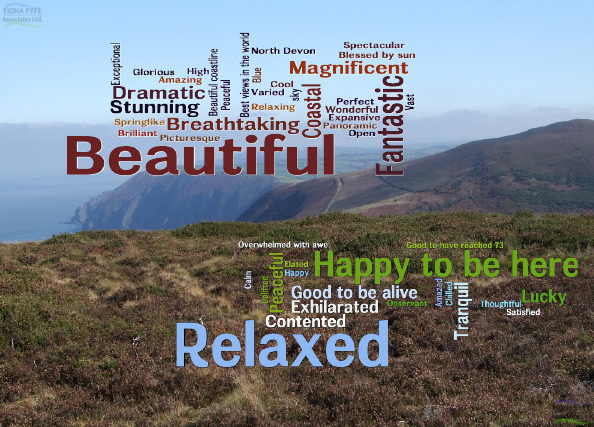
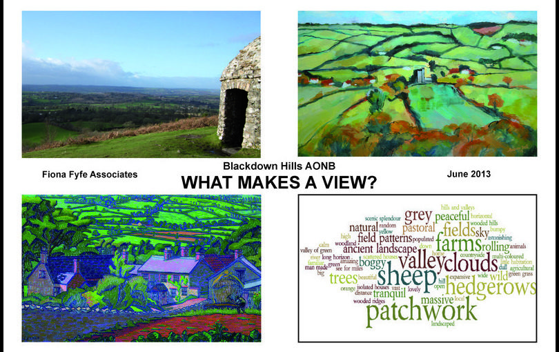
The local community was involved in many aspects of the project, including submitting their favourite views through online public consultation, completing questionnaires at AONB events and community centres, taking part in special projects in local schools, and contributing to the AONB’s landscape photography competition. Several local artists have also been involved, and their work illustrates the final report.