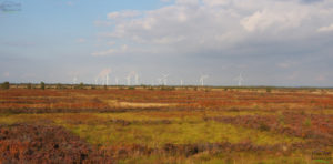
This project was undertaken for Anglesey Coast AONB, Snowdonia National Park and Natural Resources Wales. The study area included the coast of Anglesey, and the coast of mainland Wales from the Great Orme to the Dyfi Estuary (excluding the Lleyn Peninsula). The project was an extension of the conventional landscape character assessment process. It involved the identification and mapping of marine, intertidal and terrestrial Seascape Character Types (SCTs), and the grouping of these into geographically-distinct Seascape Character Areas (SCAs). Maps and profiles were prepared for all the SCTs and SCAs. SCT profiles describe each SCT and where it occurs. SCA profiles provide an in-depth study of each SCA, including its key characteristics, natural influences and sites, cultural influences and sites, perceptual qualities, and the cultural ecosystem services which it provides. The forces for change associated with each SCA are described, along with inherent sensitivity.
Because the majority of SCAs include a combination of marine, intertidal and terrestrial SCTs, the project provides a comprehensive overview of the physical and cultural relationships between land and sea, and how these have developed over time. The report is being use d in a variety of ways, including contributions to planning decisions (for onshore and offshore development proposals), the management of coastal conservation and cultural sites, and shoreline management.
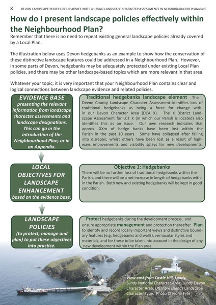 Extract from Advice Note 4.[/caption
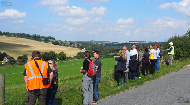
 It also makes recommendations for landscape-based projects which could be taken forward by the Landscape Partnership to enhance the area’s distinctive landscapes, to encourage local people to engage with the landscapes on their doorstep, and to increase wider awareness of the area.
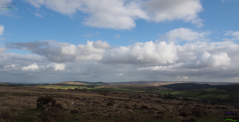
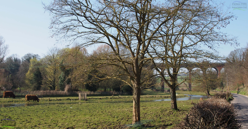
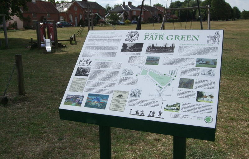
 The Plan contains a vision for each Landscape Character Area, and a series of practical project proposals and opportunities to make that vision a reality. The Plan was part of a successful First Round bid for Heritage Lottery Funding under the Landscape Partnership Scheme.